Hello,
T&D Services is an industry leader in Power Generation Services. Our solutions are cost-effective, technologically advanced, energy efficient and low-maintenance. We always ensure that each project meets a client’s goals, timeline and budget.
 In 2015, T&D was tasked with performing a topographic survey of about 1,875 acres in Chaves County, New Mexico. NextEra Energy acquired the land in order to build a solar farm, and the acreage purchased originally belonged to at least 10 different owners.
The boundaries of these lots were retraced, existing utilities and easements were collected and researched, and finally, ALTA surveys were conducted on the properties. T&D also collected ground shots of the entire 1,875 acres to provide NextEra Energy with 2-foot contours of the existing topography. The data were collected using Trimble Survey Grade R8 units combined with the TSC3 data collectors. The R8 units collected infill on the base station from which an OPUS solution was generated. Data were uploaded into Trimble Business Center and processed, and then the point data were downloaded into AutoCAD Civil3D 2014 for the maps to be drawn.
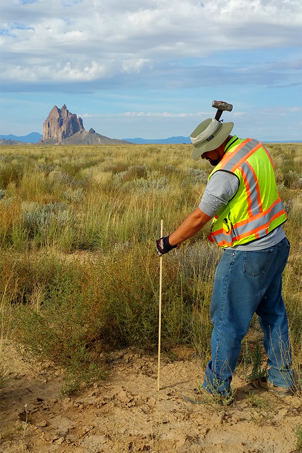
Field crews used this information to do boundary surveys to calibrate into the same coordinate system, ensuring that our precision was within tolerance. The field crews took photos of every brass cap they found, as well as rebars, pcaps, rock monuments and wood posts, then put the GPS point number on the photo to have a record of the monuments. Found monuments were tagged with a metal tag. This was also used as quality control to confirm that the monuments found were the ones recorded on the researched plats. All corresponding requirements in 12.8.2 NMAC were followed.
Research also included chain of title research and easement research, as well as obtaining past survey plats of the area. Some of these parcels were aliquot parts, and some were subdivision lots, so different methods were used in determining the boundaries of the different parcels.
 Lot line adjustment plats were also compiled for NextEra Energy to combine smaller parcels into one larger one. T&D met with the Chaves County Planning and Zoning department head and a NextEra Energy representative to determine the best way to approach this matter so as to avoid the need for a subdivision survey.
This extremely large project was conducted in stages. The preliminary survey work of picking up roads, utilities, topographic points for contours, fences, and the preliminary finding of boundary lines began in March 2015. NextEra Energy was on a very tight schedule to have the survey work completed to meet its internal deadlines. To accommodate our client’s deadlines, T&D had two crews on site working 50-hour weeks for four weeks.
After the initial survey of the property, NextEra Energy continued to contact T&D to request additional surveying services. We responded to our client’s need for a quick turnaround by completing each request within one week. For each phase of the project, T&D provided reasonable cost and realistic time estimates, which we consistently met. The final boundary retracement and lot line adjustment maps were signed and hand delivered to NextEra Energy in December 2015.
T&D’s dedication to customer service has earned us an impeccable reputation. This sets us apart from our competitors. Contact me today at hbarnesjr@t-d-services.com to discuss your power generation needs.
Sincerely,
Harry R. Barnes Jr.
Managing Member/Chief Executive Officer, T&D Services