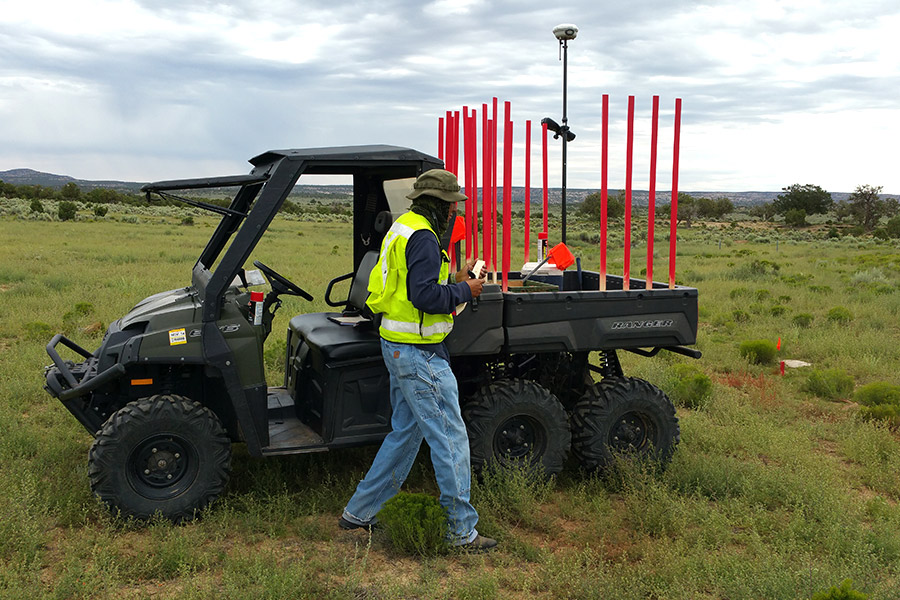
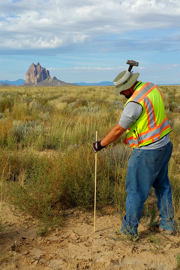
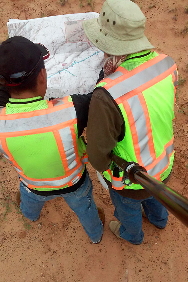
T&D’s surveyors are state licensed Professional Land Surveyors and Certified Federal Surveyors (CFedS). A CFedS is a state licensed land surveyor who has successfully completed additional training and the certification process established by the Bureau of Land Management (BLM) Cadastral Survey Program.
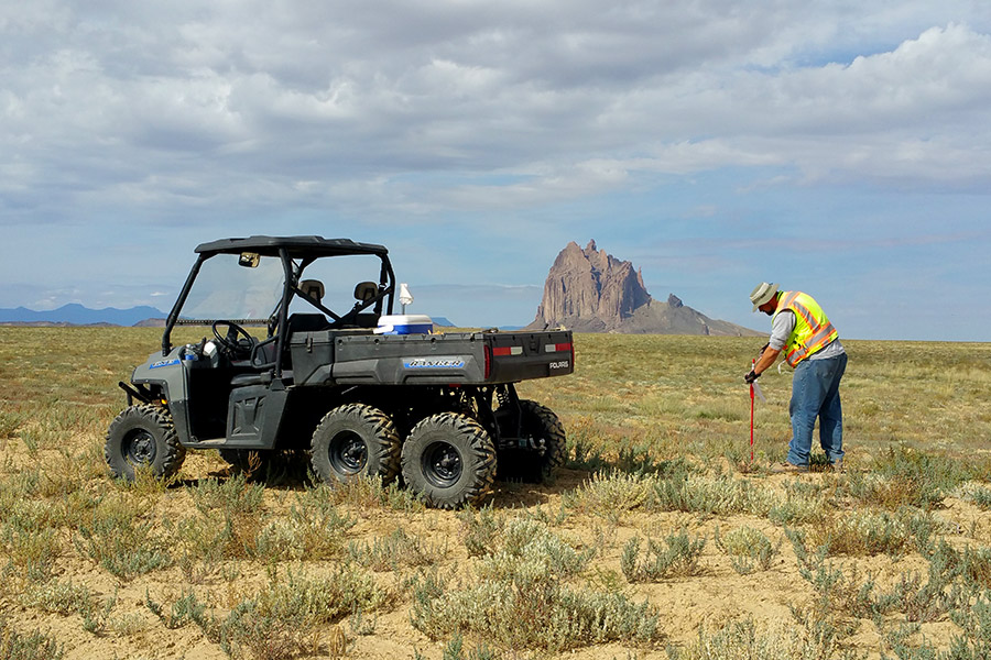
T&D has years of experience surveying power lines and the ability to route them in the most cost efficient and environmental way. We route lines to avoid archeological and environmental concerns and have specialized experience working on Native American lands. We also have years of expertise preparing right of way (ROW) documentation to submit to various government entities, including the New Mexico Department of Transportation (NMDOT), Bureau of Indian Affairs (BIA), Bureau of Land Management (BLM), and New Mexico State Land Offices. T&D’s surveying experience extends throughout New Mexico, Arizona and the Southwest region. Remote and mountainous areas with rough, uneven terrain pose no problems for our experienced crews.
T&D’s surveying team has a long and stable working relationship making the team unified and effective. T&D’s licensed surveyors work side by side with the field services teams of crew chiefs and technicians. Comprehensive field experience distinguishes T&D from its competitors; we apply the expertise and practical knowledge gained from our years of field experience and site investigations to all of our surveying projects. Working together on a long history of projects gives our team a rich background of surveying experience to draw from and the superior performance that can only be achieved by a cohesive, well-functioning crew.
T&D’s surveying team is equipped with an array of the latest equipment and technology allowing our team to provide a full range of services. We provide innovative geospatial technology to our clients by utilizing terrestrial, static and mobile Light Detection and Ranging (LiDAR) systems to accurately determine range, elevation, and other critical mapping data. Our experienced staff is aware the geospatial information we collect and process is needed for a holistic approach to monitoring and managing environmental conditions as well as assessing in situ infrastructure.
T&D utilizes both AutoCAD Civil3D 2015 and ArcMap 10.4. We are well versed in converting coordinate systems and providing clients with shapefiles and/or Google Earth.kmz files for their reference. We can also perform system inventories using our own data dictionary compiled using Trimble Business Center andare capable of using another company’s existing data dictionary and importing it into field crews’ TSC3 hand held devices, if necessary.
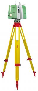 Consistent with T&D’s aim to utilize technology to provide value to our clients, our surveying teamcan capture and clarify as-built and as-found information for the design, engineering, and execution of projects. Through the utilization of LiDAR scanning and imaging services with a state of the art Leica Scan Station P20 Laser Scanning System, we reduce our clients’ dependency on cost-intensive processes.LiDAR works much like radar with the device sending out a laser pulse at the speed of a million points per second. Data obtained from scans is used to build a 3D AutoCAD model. The noninvasive, nondestructive nature of LiDAR scanning and the instrument’s small size allows a quick and accurate scan and imaging of almost any site including facilities, utility stations, and exterior locations. T&D can scan small project sites in 30 minutes or less.
Practical applications for LiDAR scanning are diverse. Scans can be used to capture data points for energized power delivery substations, cramped electrical or mechanical rooms with difficult access, surveys in remote, mountainous areas, and for historical renovation projects where non-invasive measures are crucial.
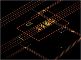
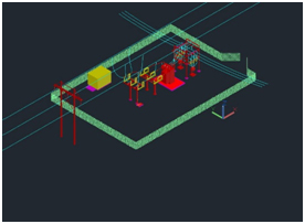
T&D’s unique capability of integrating 3D technologies into a single source of information fills a crucial need for clients and provides significant savings. Ground penetrating radar (GPR) is revolutionary in its ability to both capture data from existing structures underground and permit viewing of the data in amazing 3D clarity. Laser scanning (LiDAR), coupled with UAV (drone) technology for geo-referencing, permits similar data acquisition and utility of above-ground assets. We provide value to our clients through extensive pre-project and project planning to ensure high-integrity data acquisition; integrating data gathered into exceptionally accurate 3D representations; and interpreting modeled data into existing (or new) site-specific backgrounds (plot plans, general arrangement, routing plans, etc.).
Our Surveying Services include:
- Centerline surveys for right of way and easements
- Legal, boundary, topographic surveys and other cadastral services
- Mapping
- LiDAR scanning
- Work order review
- System inventories, testing and inspections
- Troubleshooting and analysis
- Joint-use field surveys
- Pole Inspections
- Consulting
- Database development
- Asset management
- Application design and development
- Data access and visualization
- Data acquisition and processing
